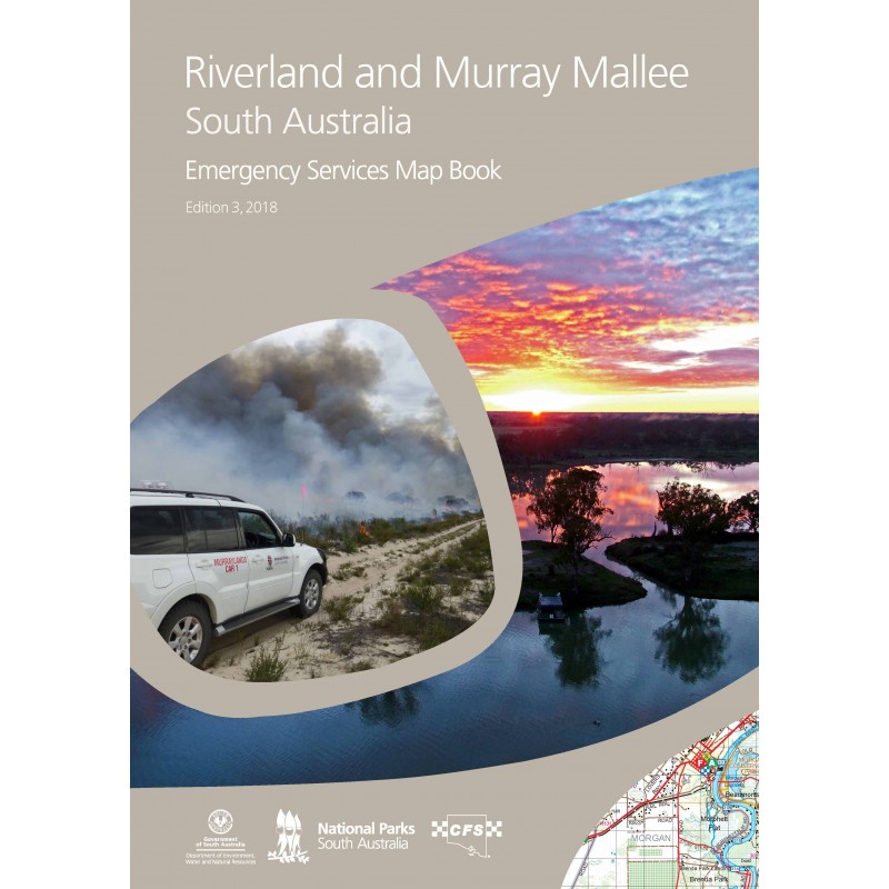


The Riverland and Murray Mallee Emergency Services Map Book encompasses an area of some 57,000 km2 or 5.7 million hectares. It stretches from Keith in the south to beyond Danggali Wilderness Area in the north. From Milang on the western shore of Lake Alexandrina the map coverage extends east to the Victorian and New South Wales borders.
The detailed topographic maps provide information about the region including roads and tracks, buildings and many other features in the landscape. Updates included in this edition are: 9 Regional maps, town enlargement maps, street indexes, suburb and locality indexes, rural property address numbers, gates and gate numbers, DEWNR Park boundaries. This Map Book is produced to support emergency service operations, but is full of information useful for the general traveller, recreational and commercial users alike.
Edition 3, 2018.
Book size 240mm wide x 325mm, weighs 790 grams, 158 pages.